
PlaceFinder


HOME /
Cape Egmont, an unincorporated area, is located in Prince County in the western portion of Prince Edward Island, SW. of Wellington. Its precise location is N 46°24', W 64°06'.
This page is a comprehensive index of all of the information on our website related to Cape Egmont. You can also search for information on other communities.
| Community Photographs |
Our community photographs collection includes selected photos of schools, churches, parks, and other public buildings, areas and events. .
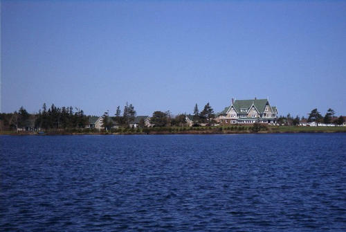
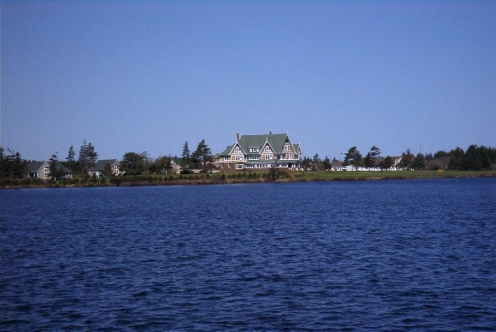
 | Dalvay by the Sea Credit: 2002 Mary Payne, Annapolis, Mayland, USA 500 x 335 - 24K 1024 x 686 - 122K |  | Dalvay by the Sea Credit: 2002 Mary Payne, Annapolis, Mayland, USA 500 x 335 - 24K 1024 x 686 - 123K |
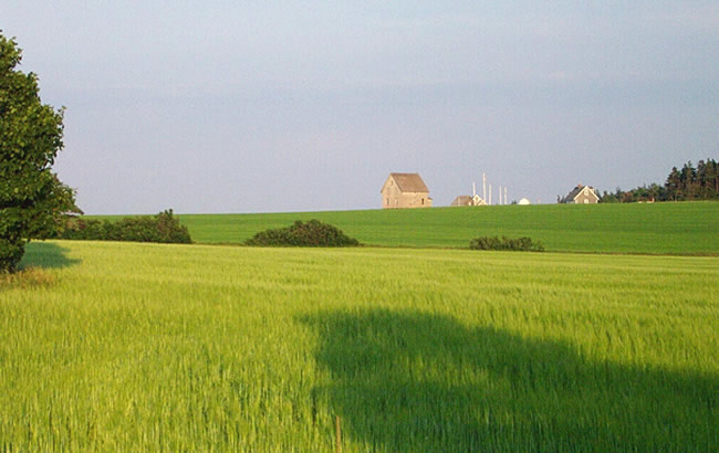
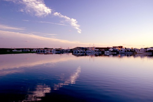
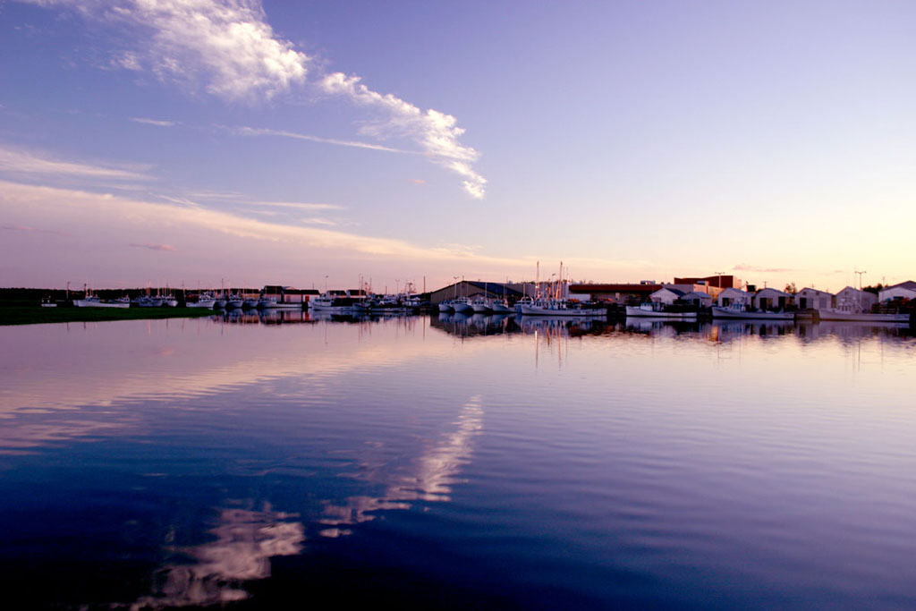
 | A Farmhouse at Cape Tryon Credit: (c) 2003 Nancy Starno 650 x 410 - 88K 1024 x 646 - 156K |  | Tignish Point Harbour Credit: 2004 Paulette Holmes - Mansfield, TX, USA 500 x 333 - 40K 1024 x 683 - 89K |
| Visitors Guide Listings |
Our Visitors Guide is a complete vacation planning manual.
| The Geography of Cape Egmont |
Maps
You can use our interactive maps to
display maps of Cape Egmont and area.
Click on the map link:
Show Map
| Statistical Information |
Cape Egmont falls inside the Statistics Canada
census subdivision of Lot 15. They have detailed statistical information available
for the Lot 15 census subdivision for the following categories:
Education,Ethnicity,Family,Income,Labour Force,Population, and Shelter.
Information courtesy Statistics Canada.
| History of the Name |
The official history of the geographic name Cape Egmont (which can be somewhat technical, we admit):
Cape Egmont (Sett.) was adopted 2 August 1944 on 11L/5.Status changed to Locality in 1960 Gazetteer.Status confirmed 23 October 1989 on 203-8.
Information courtesy Geomatics Canada .