
PlaceFinder


HOME /
Charlottetown, a city, is located in Queens County in the central portion of Prince Edward Island, SE. of Summerside, NW. of Georgetown. Its precise location is N 46°14', W 63°08'.
This page is a comprehensive index of all of the information on our website related to Charlottetown. You can also search for information on other communities.
| Municipal Government Information |
The City was incorporated in 1995 and has a population of 34562.
| Telephone: | (902) 566-5548 |
| Facsimile: | (902) 566-4701 |
| Address: | P.O. Box 98, Charlottetown, PE, C1A 7K2 |
| Meetings: | Second Monday of the month : 7:00 p.m. (Summer: 4:30 p.m.) Charlottetown City Hall Council Chambers, 2nd Floor 199 Queen Street This information is subject to change. Please contact the municipality to confirm the meeting time and location. |
| Office Hours: | Monday to Friday 8:30 a.m.-5:00 p.m. (Summer) 8:00 a.m.- 4:00 p.m. |
| Email: | city@city.charlottetown.pe.ca |
| Website: | http://www.city.charlottetown.pe.ca |
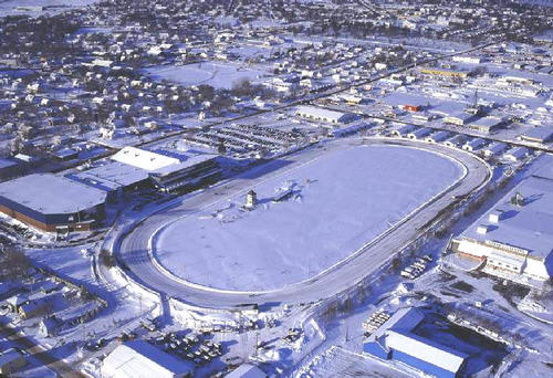
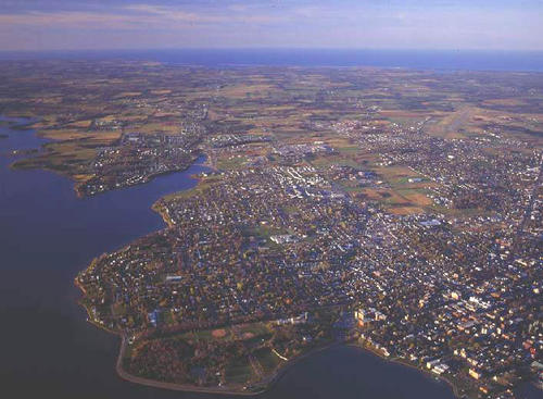
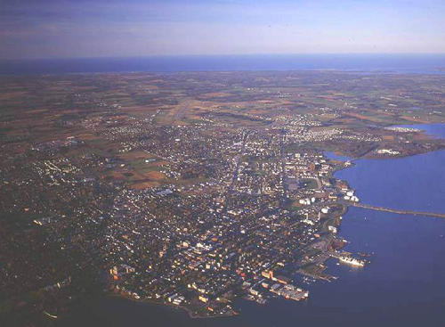
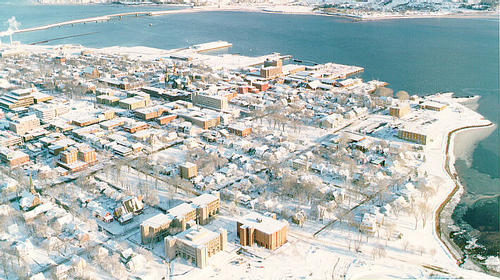
| Aerial Photographs |
Aerial photography courtesy of AirScapes. All aerial photographs are available for sale, as prints or slides; please contact AirScapes for details. You can also see a complete list of aerial photographs of the Island.
 | Charlottetown Driving Park 500 x 342 - 67K 708 x 485 - 115K |  | Charlottetown 500 x 367 - 49K 708 x 520 - 82K |
 | Charlottetown 500 x 367 - 44K 708 x 520 - 74K | Charlottetown 500 x 280 - 54K 711 x 399 - 116K | |
MORE AERIAL PHOTOGRAPHS... there are 24 aerial photographs of Charlottetown in our Aerial Photo Gallery.
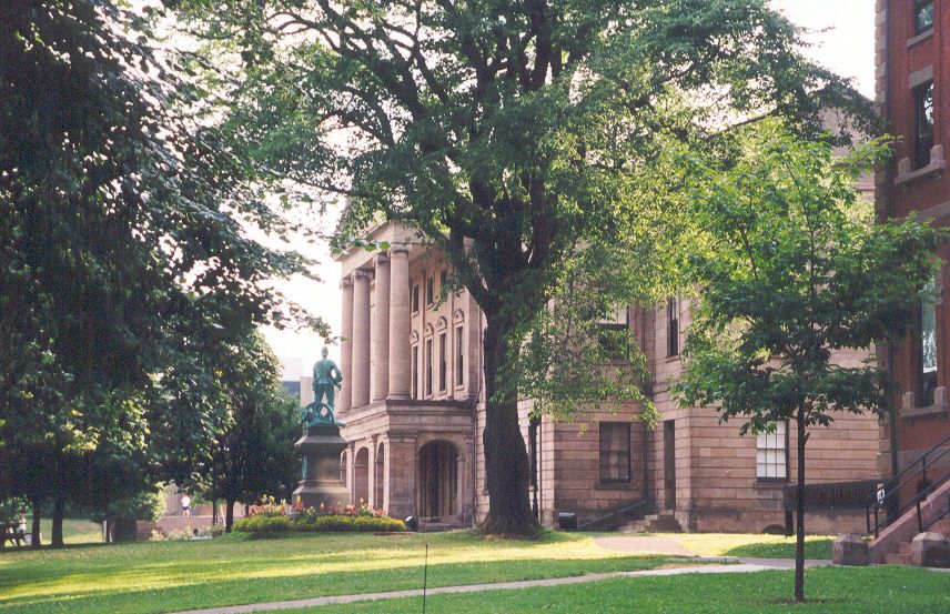
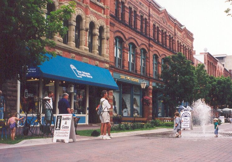
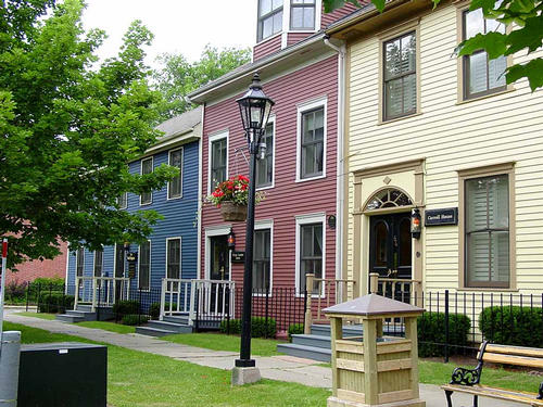
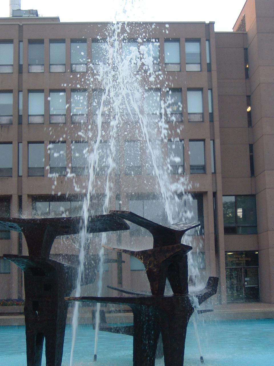
| Community Photographs |
Our community photographs collection includes selected photos of schools, churches, parks, and other public buildings, areas and events. .
 | Province House Credit: 2000 Bob Adair, Vancouver, BC 500 x 323 - 49K 856 x 553 - 153K |  | Victoria Row Credit: 2000 Bob Adair, Vancouver, BC 500 x 349 - 40K 745 x 520 - 97K |
 | Inns on Great George Credit: Copyright 2002 Pierre McKenzie Quebec City 500 x 375 - 77K 1024 x 768 - 175K |  | Fountain at Government Buildings Credit: (c) 2003 Amanda Bradley 960 x 1280 - 145K 768 x 1024 - 262K |
| Visitors Guide Listings |
Our Visitors Guide is a complete vacation planning manual.
| The Geography of Charlottetown |
Maps
You can use our interactive maps to
display maps of Charlottetown and area.
Click on the map link:
Show Map
Driving Distances and Times
To find driving distances and times from other locations, consult the distance chart for Charlottetown.
| Statistical Information |
The PEI Community Accounts has information about Charlottetown. Community Accounts provides a comprensive source of community, regional, and provincial data on social, environmental and economic topics
Information courtesy of Community Accounts
Charlottetown falls inside the Statistics Canada
census subdivision of Charlottetown. They have detailed statistical information available
for the Charlottetown census subdivision for the following categories:
Education,Ethnicity,Family,Income,Labour Force,Population, and Shelter.
Information courtesy Statistics Canada.
| History of the Name |
The official history of the geographic name Charlottetown (which can be somewhat technical, we admit):
Incorporated as a town in 1855 and as a city in 1875.Confirmed in Place Names of PEI, 1925 and 12 December 1939 on 11L/3.Application altered 1 April 1995 by the Charlottetown Area Municipalities Act; now includes the formerly incorporat ed areas of Parkdale, Sherwood, Hillsborough Park, Winsloe, West Royalty, and Ea st Royalty.Name confirmed 17 June 1996 on 11 L/3. For origin see "Citizen" by Department of Citizenship and Immigration, Volume 9, no.3, June 1963; Mackinnon, 1930, page 48 "Under Governor Francklin Charlotteto wn was laid out as the capital of the island in May, 1768."After Queen Charlot te, the consort of George III. - Place Names of PEI, 1925. Contains the Localities of Brighton, Spring Park, Lewis Point, West Royalty, Hig hfield, Winsloe and the Former Ry. Pt. of St. Dunstan's.
Information courtesy Geomatics Canada .