
PlaceFinder


HOME /
East Point, a cape, is located in Kings County in the eastern portion of Prince Edward Island. Its precise location is N 46°27', W 61°58'.
This page is a comprehensive index of all of the information on our website related to East Point. You can also search for information on other communities.
| Aerial Photographs |
Aerial photography courtesy of AirScapes. All aerial photographs are available for sale, as prints or slides; please contact AirScapes for details. You can also see a complete list of aerial photographs of the Island.
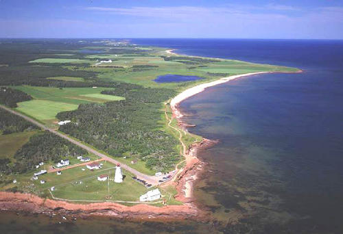
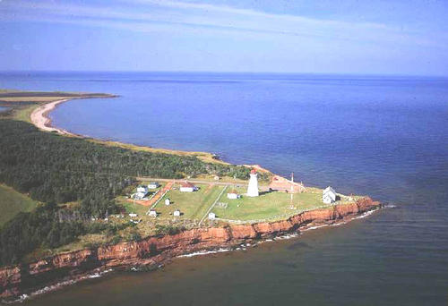
 | Lighthouse - East Point 500 x 367 - 47K 708 x 520 - 73K |  | Lighthouse - East Point 500 x 342 - 37K 708 x 485 - 57K |
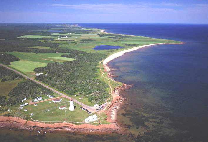
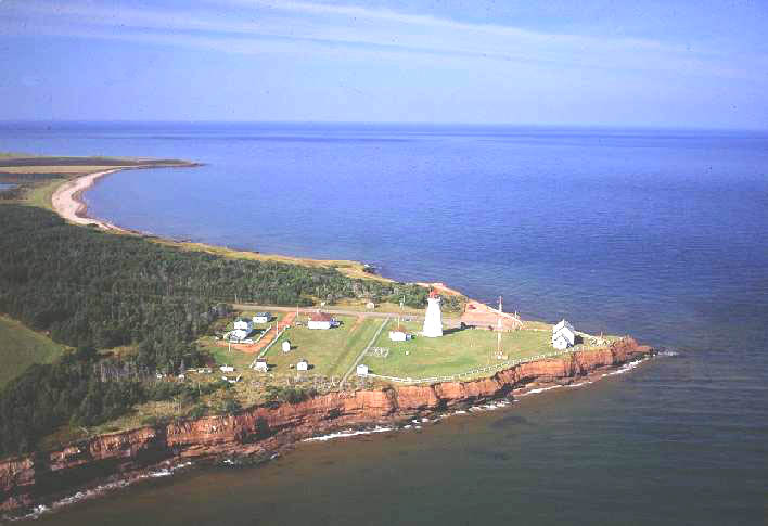
 | Lighthouse - East Point 500 x 342 - 34K 708 x 485 - 51K |  | Lighthouse - East Point 500 x 367 - 43K 708 x 520 - 69K |
| Community Photographs |
Our community photographs collection includes selected photos of schools, churches, parks, and other public buildings, areas and events. .
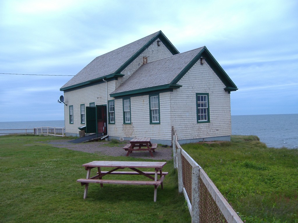
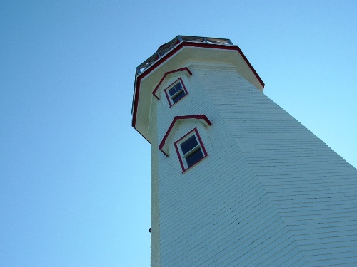
 | Information House Credit: 2009 Mike Miles (mikemiles@sympatico.ca) 500 x 375 - 58K 1024 x 768 - 191K | 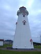 | Lighthouse Credit: 2009 Mike Miles (mikemiles@sympatico.ca) 375 x 500 - 47K 768 x 1024 - 155K |
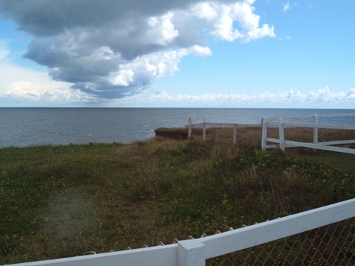
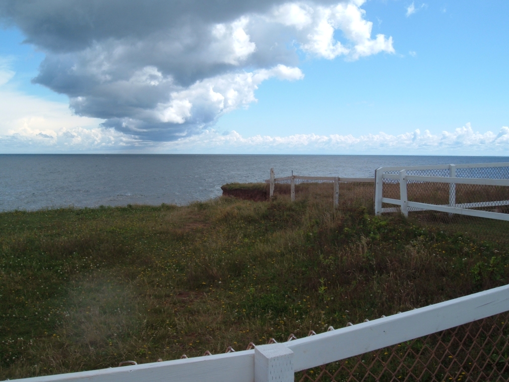
 | View of the Lighthouse Credit: 2006 Colin Whitlock (colin_10_whitty@hotmail.com) 500 x 375 - 54K 1024 x 768 - 214K |  | Overlooking the water Credit: 2006 Colleen Doucette (kcdoucette1@pei.sympatico.ca) 500 x 375 - 103K 1024 x 768 - 535K |
| Visitors Guide Listings |
Our Visitors Guide is a complete vacation planning manual.
| The Geography of East Point |
Maps
You can use our interactive maps to
display maps of East Point and area.
Click on the map link:
Show Map
Driving Distances and Times
To find driving distances and times from other locations, consult the distance chart for East Point.
| Statistical Information |
| History of the Name |
The official history of the geographic name East Point (which can be somewhat technical, we admit):
East Point appears on 11K/5, published as part of 11L/8.
Information courtesy Geomatics Canada .