
PlaceFinder


HOME /
Lennox Island, an unincorporated area, is located in Prince County in the western portion of Prince Edward Island, E. of Ellerslie. Its precise location is N 46°36', W 63°51'.
This page is a comprehensive index of all of the information on our website related to Lennox Island. You can also search for information on other communities.
| Aerial Photographs |
Aerial photography courtesy of AirScapes. All aerial photographs are available for sale, as prints or slides; please contact AirScapes for details. You can also see a complete list of aerial photographs of the Island.
 | Lennox Island 500 x 375 - 28K 700 x 525 - 124K |
| Community Photographs |
Our community photographs collection includes selected photos of schools, churches, parks, and other public buildings, areas and events. .
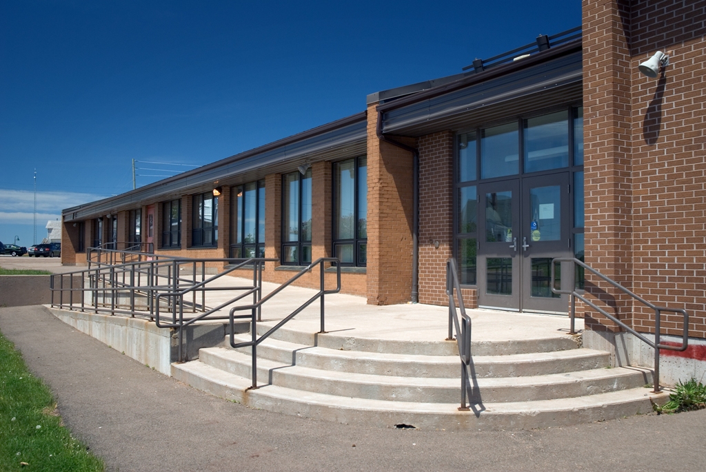
 | John J. Sark Memorial School Credit: 2007 Province of Prince Edward Island 640 x 428 - 198K 1024 x 685 - 486K |
| Visitors Guide Listings |
Our Visitors Guide is a complete vacation planning manual.
| The Geography of Lennox Island |
Maps
You can use our interactive maps to
display maps of Lennox Island and area.
Click on the map link:
Show Map
| Statistical Information |
| History of the Name |
The official history of the geographic name Lennox Island (which can be somewhat technical, we admit):
Lennox Island (Sett.) was adopted 2 August 1944 on 11L/12. Status changed to Locality 23 October 1989 on 203-8.
Information courtesy Geomatics Canada .