
PlaceFinder


HOME /
Mont-Carmel, an unincorporated area, is located in Prince County in the western portion of Prince Edward Island, SW. of Wellington. Its precise location is N 46°24', W 64°02'.
This page is a comprehensive index of all of the information on our website related to Mont-Carmel. You can also search for information on other communities.
| Community Photographs |
Our community photographs collection includes selected photos of schools, churches, parks, and other public buildings, areas and events. .
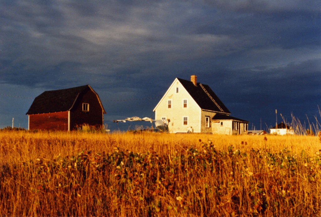
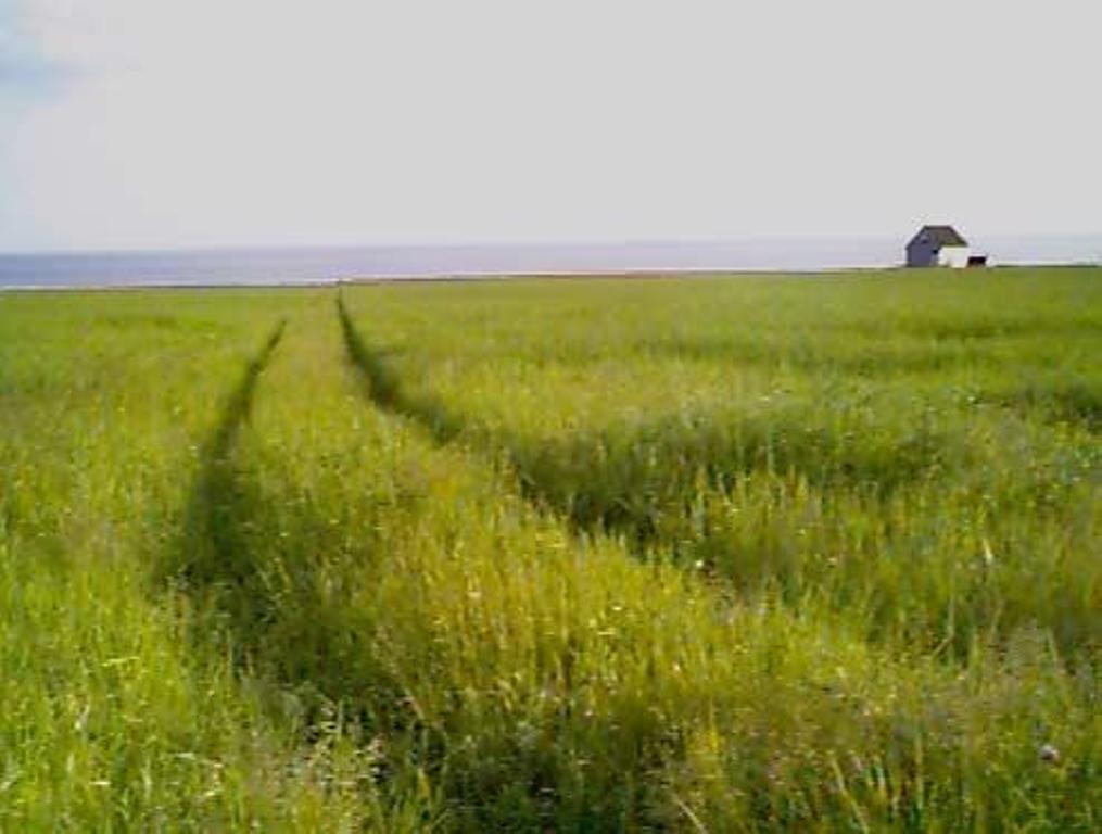
 | Sun coming out below the storm clouds. Credit: 2003 Paul Chambers 500 x 339 - 69K 1024 x 695 - 235K |  | Tractor trail through a field with water in the background. Credit: 2003 Nancy Starno 496 x 375 - 24K 1015 x 768 - 67K |
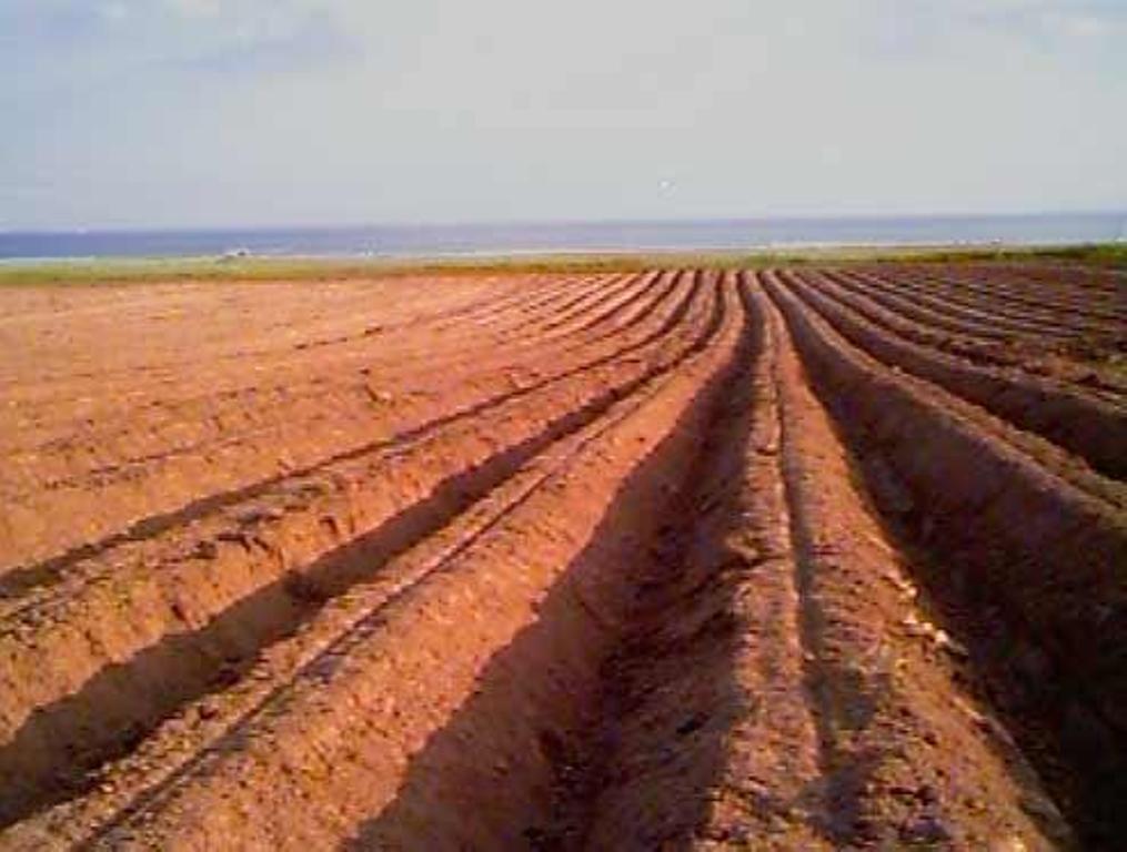
 | Potato Field Credit: 2003 Nancy Starno 496 x 375 - 28K 1015 x 768 - 78K |  | Island House with Fireweed Credit: 2003 Nancy Starno 496 x 375 - 30K 1015 x 768 - 80K |
| Visitors Guide Listings |
Our Visitors Guide is a complete vacation planning manual.
| The Geography of Mont-Carmel |
Maps
You can use our interactive maps to
display maps of Mont-Carmel and area.
Click on the map link:
Show Map
| Statistical Information |
Mont-Carmel falls inside the Statistics Canada
census subdivision of Lot 15. They have detailed statistical information available
for the Lot 15 census subdivision for the following categories:
Education,Ethnicity,Family,Income,Labour Force,Population, and Shelter.
Information courtesy Statistics Canada.
| History of the Name |
The official history of the geographic name Mont-Carmel (which can be somewhat technical, we admit):
Fifteen Point (NOT Mount Carmel) (Sett.) was adopted in Place Names of PEI, 1925.Changed to Mount Carmel (Sett.) 2 August 1944 on 11l/5. Status changed to Locality 23 October 1989 on 203-8.Called Mount Carmel after the R.C. church there.Fifteen Point (P.O.) became Mount Carmel (P.O.) in 1898.Post office closed 15 August 1914.- PN of PEI, 1925 and R.C. priest, P.P. Arsenault, 1905 (on James White letter on21I/8).
Information courtesy Geomatics Canada .