
PlaceFinder


HOME /
O'Leary, a village, is located in Prince County in the western portion of Prince Edward Island, NW. of Lady Slipper. Its precise location is N 46°43', W 64°14'.
This page is a comprehensive index of all of the information on our website related to O'Leary. You can also search for information on other communities.
| Municipal Government Information |
The Town was incorporated in 1951 and has a population of 812.
| Telephone: | (902) 859-3311 |
| Facsimile: | (902) 859-2341 |
| Address: | P.O. Box 130, O'Leary, PE, C0B 1V0 |
| Meetings: | Second Thursday of month at 6:30 p.m. 18 Community Street This information is subject to change. Please contact the municipality to confirm the meeting time and location. |
| Office Hours: | Monday to Friday: 9:00 a.m. - 12:00 p.m. and 1:00 p.m. - 4:30 p.m. |
| Email: | olearyadm@eastlink.ca |
| Website: | http://www.townofoleary.com/ |
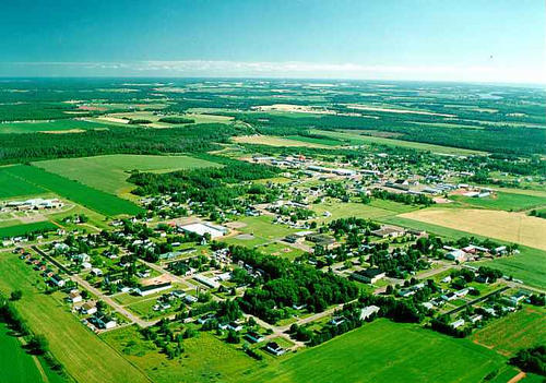
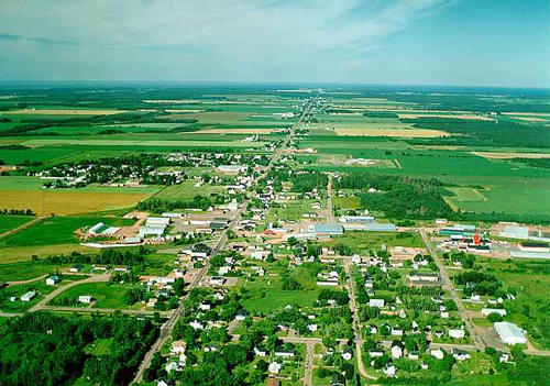
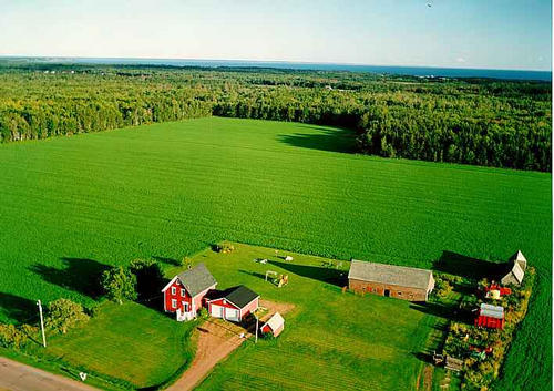
| Aerial Photographs |
Aerial photography courtesy of AirScapes. All aerial photographs are available for sale, as prints or slides; please contact AirScapes for details. You can also see a complete list of aerial photographs of the Island.
 | O'Leary 709 x 499 - 57K 500 x 351 - 61K |  | O'Leary 709 x 499 - 55K 500 x 351 - 59K |
 | Farm 710 x 502 - 46K 500 x 353 - 50K |
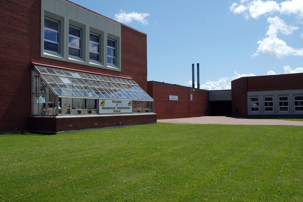
| Community Photographs |
Our community photographs collection includes selected photos of schools, churches, parks, and other public buildings, areas and events. .
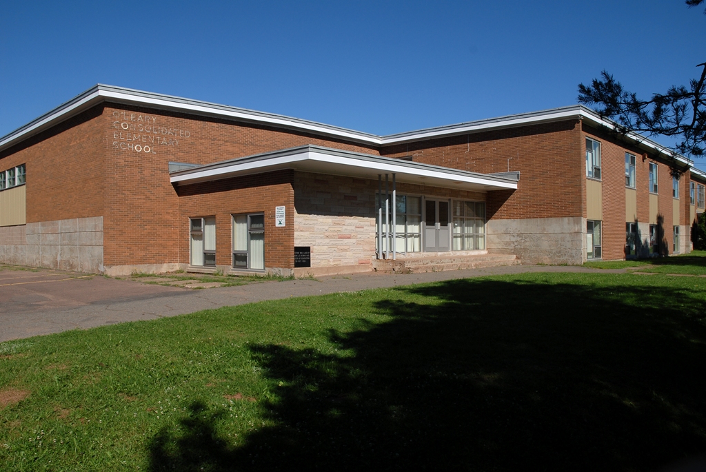
 | Hernewood Junior High School Credit: 2007 Province of Prince Edward Island 640 x 428 - 207K 1024 x 685 - 525K |  | O'Leary Consolidated Elementary School Credit: 2007 Province of Prince Edward Island 640 x 428 - 185K 1024 x 685 - 465K |
| Visitors Guide Listings |
Our Visitors Guide is a complete vacation planning manual.
| The Geography of O'Leary |
Maps
You can use our interactive maps to
display maps of O'Leary and area.
Click on the map link:
Show Map
Driving Distances and Times
To find driving distances and times from other locations, consult the distance chart for O'Leary.
| Statistical Information |
The PEI Community Accounts has information about O'Leary. Community Accounts provides a comprensive source of community, regional, and provincial data on social, environmental and economic topics
Information courtesy of Community Accounts
O'Leary falls inside the Statistics Canada
census subdivision of Lot 6. They have detailed statistical information available
for the Lot 6 census subdivision for the following categories:
Education,Ethnicity,Family,Income,Labour Force,Population, and Shelter.
Information courtesy Statistics Canada.
| History of the Name |
The official history of the geographic name O'Leary (which can be somewhat technical, we admit):
O'Leary (Sett., P.O.) was adopted in Place Names of PEI, 1925.Name changed to O'Leary (O'Leary Station P.O.)(Town) 3 December 1946 on 21I/9.O'Leary was inco rporated as a Village in 1951.O'Leary (O'Leary Station P.O.)(Village) appeared in the 1960 Gazetteer.Name changed to O'Leary (Village) when O'Leary Station (P.O.) was rescinded 4 January 1967 on 21I/9.Status of O'Leary changed to Comm unity by the Municipalities Act in 1983. "Named after Michael O'Leary, who lived at the east end of the road on the shore about 12 miles from the settlement." - PN of PEI, 1925.
Information courtesy Geomatics Canada .