
PlaceFinder


HOME /
Pinette, an unincorporated area, is located in Queens County in the central portion of Prince Edward Island, SE. of Charlottetown. Its precise location is N 46°03', W 62°54'.
This page is a comprehensive index of all of the information on our website related to Pinette. You can also search for information on other communities.
| Community Photographs |
Our community photographs collection includes selected photos of schools, churches, parks, and other public buildings, areas and events. .
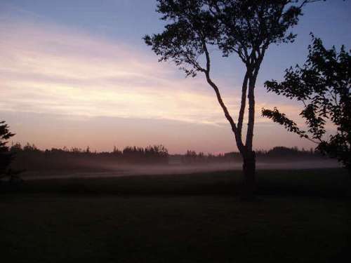
 | South Pinette Credit: 2005 Jeffrey Wills 500 x 375 - 12K 1024 x 768 - 35K |  | South Pinette Credit: 2005 Jeffrey Wills 500 x 375 - 17K 1024 x 768 - 50K |
| Visitors Guide Listings |
Our Visitors Guide is a complete vacation planning manual.
| The Geography of Pinette |
Maps
You can use our interactive maps to
display maps of Pinette and area.
Click on the map link:
Show Map
| Statistical Information |
| History of the Name |
The official history of the geographic name Pinette (which can be somewhat technical, we admit):
Pinette (Village) was adopted in Place Names of PEI, 1925.Confirmed 6 May 1947 on C. 4405.Status changed to Locality in 1960 Gazetteer. Confirmed as a Locality when Pinette became part of the Community of Belfast in 1972. After the Pinet family who lived there in 1752. - PN of PEI, 1925.
Information courtesy Geomatics Canada .