
PlaceFinder


HOME /
Bloomfield, an unincorporated area, is located in Prince County in the western portion of Prince Edward Island, SW. of Alberton. Its precise location is N 46°46', W 64°14'.
This page is a comprehensive index of all of the information on our website related to Bloomfield. You can also search for information on other communities.
| Community Photographs |
Our community photographs collection includes selected photos of schools, churches, parks, and other public buildings, areas and events. .
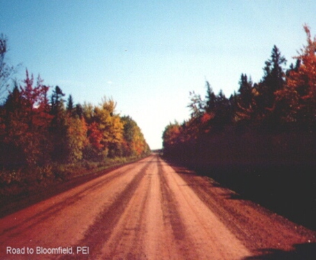
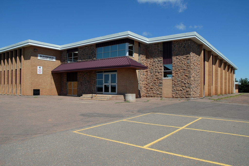
 | Road to Bloomfield Credit: 2004 Donna S. Poindexter, Waynesboro, VA, USA 455 x 375 - 72K 932 x 768 - 213K |  | Bloomfield Elementary Credit: 2007 Province of Prince Edward Island 640 x 428 - 192K 1024 x 685 - 492K |
| Visitors Guide Listings |
Our Visitors Guide is a complete vacation planning manual.
| The Geography of Bloomfield |
Maps
You can use our interactive maps to
display maps of Bloomfield and area.
Click on the map link:
Show Map
| Statistical Information |
Bloomfield falls inside the Statistics Canada
census subdivision of Lot 5. They have detailed statistical information available
for the Lot 5 census subdivision for the following categories:
Education,Ethnicity,Family,Income,Labour Force,Population, and Shelter.
Information courtesy Statistics Canada.
| History of the Name |
The official history of the geographic name Bloomfield (which can be somewhat technical, we admit):
Bloomfield (Sett) was adopted in Place Names of PEI, 1925.Name changed to Bloo mfield Station (Vill.) 3 December 1946 on 21I/16.Name changed to Bloomfield (B loomfield Station P.O.)(Hamlet) 5 December 1966 on 21I/16.Status changed to Lo cality 23 October 1989 on 203-8. Named about 1877 after Bloomfield, Ontario.- PN of PEI, 1925.
Information courtesy Geomatics Canada .