
PlaceFinder


HOME /
St. Peters Bay, a village, is located in Kings County in the eastern portion of Prince Edward Island, E. of Morell. Its precise location is N 46°25', W 62°35'.
This page is a comprehensive index of all of the information on our website related to St. Peters Bay. You can also search for information on other communities.
| Municipal Government Information |
The Municipality was incorporated in 1953 and has a population of 253.
| Telephone: | (902) 961-2268 |
| Facsimile: | (902) 961-3148 |
| Address: | PO Box 51, St. Peters Bay, PE, C0A 2A0 |
| Meetings: | At the call of the chairperson. |
| Office Hours: | Monday to Friday: 9:00 a.m. - 12:00 p.m. |
| Email: | stpeters@eastlink.ca |
| Website: | http://www.stpetersbaypei.com/ |
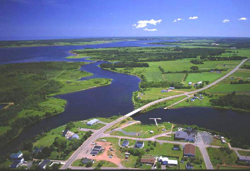
| Aerial Photographs |
Aerial photography courtesy of AirScapes. All aerial photographs are available for sale, as prints or slides; please contact AirScapes for details. You can also see a complete list of aerial photographs of the Island.
 | Morell River 500 x 342 - 43K 708 x 485 - 65K |
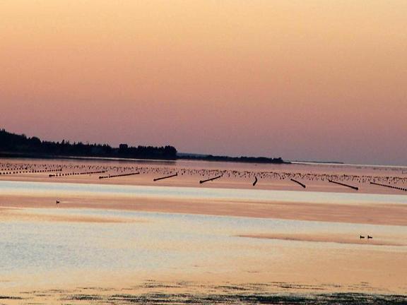
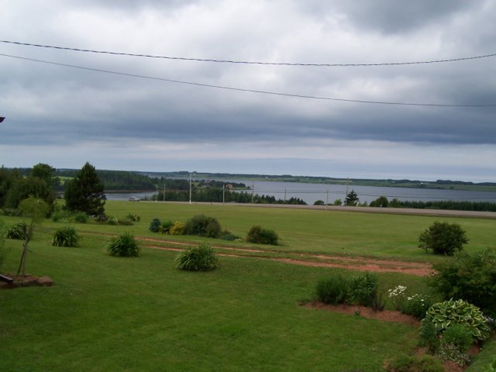
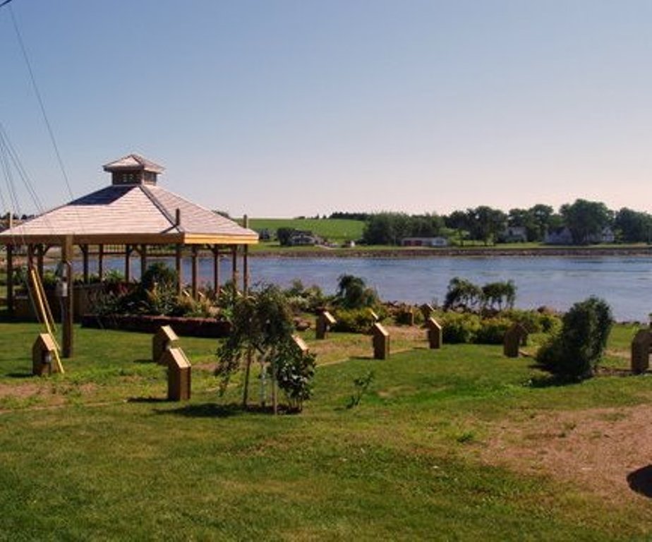
| Community Photographs |
Our community photographs collection includes selected photos of schools, churches, parks, and other public buildings, areas and events. .
 | Sunset on the water. Credit: 2009 Earle Dunphy 576 x 432 - 37K 1024 x 768 - 169K |  | View of St. Peter's Bay Credit: 2009 Theresa Lewis 500 x 375 - 118K 1024 x 768 - 336K |
 | St. Peters Bay Credit: 2010 Margaret Lang 451 x 375 - 45K 924 x 768 - 111K |  | Sunset in St. Peter's Bay Credit: 2006 Theresa Lewis 500 x 317 - 25K 1024 x 649 - 68K |
| Visitors Guide Listings |
Our Visitors Guide is a complete vacation planning manual.
| The Geography of St. Peters Bay |
Maps
You can use our interactive maps to
display maps of St. Peters Bay and area.
Click on the map link:
Show Map
| Statistical Information |
The PEI Community Accounts has information about St. Peters Bay. Community Accounts provides a comprensive source of community, regional, and provincial data on social, environmental and economic topics
Information courtesy of Community Accounts
| History of the Name |
The official history of the geographic name St. Peters Bay (which can be somewhat technical, we admit):
St. Peter (Sett.) was adopted in Place Names of PEI, 1925.Name changed to St. Peters (St. Peters Bay P.O.) (Village) 3 December 1946 on 11L/7. Village was incorporated in 1953.Village status changed to Inc. Community in 1 983 by the Municipalities Act.Dual name changed to St. Peters Bay (Comm.) 31 Dec. 1989 on 11L/7.
Information courtesy Geomatics Canada .