
PlaceFinder


HOME /
Lot 47, a geographical area, is located in Kings County in the eastern portion of Prince Edward Island. Its precise location is N 46°26', W 62°05'.
This page is a comprehensive index of all of the information on our website related to Lot 47. You can also search for information on other communities.
| Community Photographs |
Our community photographs collection includes selected photos of schools, churches, parks, and other public buildings, areas and events. .
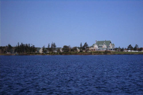
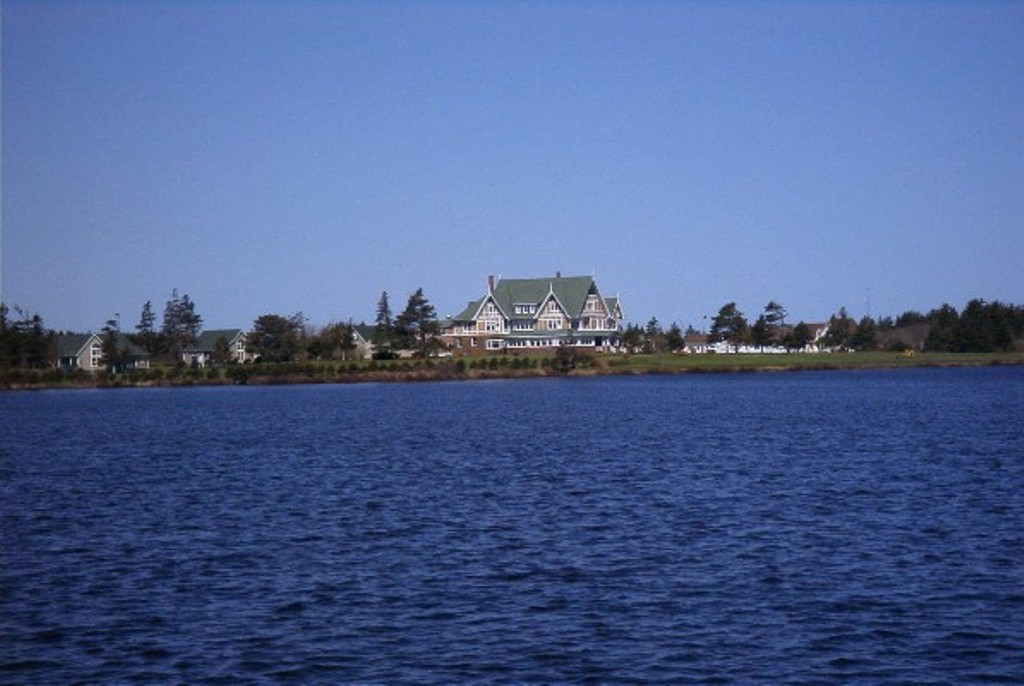
 | Dalvay by the Sea Credit: 2002 Mary Payne, Annapolis, Mayland, USA 500 x 335 - 24K 1024 x 686 - 122K |  | Dalvay by the Sea Credit: 2002 Mary Payne, Annapolis, Mayland, USA 500 x 335 - 24K 1024 x 686 - 123K |
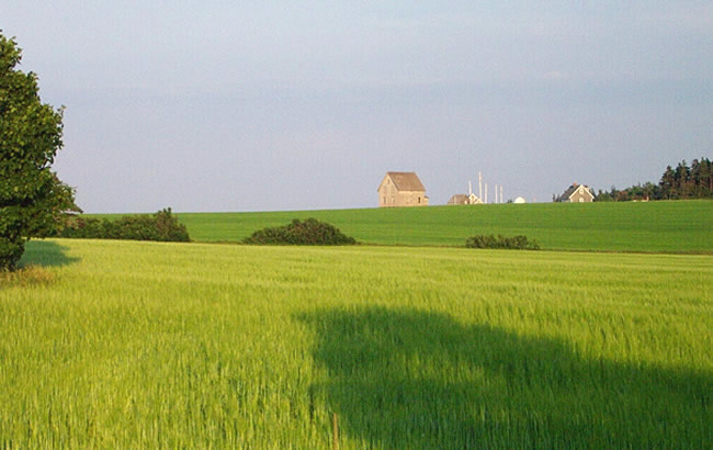
 | A Farmhouse at Cape Tryon Credit: (c) 2003 Nancy Starno 650 x 410 - 88K 1024 x 646 - 156K |  | Tignish Point Harbour Credit: 2004 Paulette Holmes - Mansfield, TX, USA 500 x 333 - 40K 1024 x 683 - 89K |
| Visitors Guide Listings |
Our Visitors Guide is a complete vacation planning manual.
| The Geography of Lot 47 |
Maps
You can use our interactive maps to
display maps of Lot 47 and area.
Click on the map link:
Show Map
| Statistical Information |
The PEI Community Accounts has information about Lot 47: East Point. Community Accounts provides a comprensive source of community, regional, and provincial data on social, environmental and economic topics
Information courtesy of Community Accounts
Lot 47 falls inside the Statistics Canada
census subdivision of Lot 47. They have detailed statistical information available
for the Lot 47 census subdivision for the following categories:
Education,Ethnicity,Family,Income,Labour Force,Population, and Shelter.
Information courtesy Statistics Canada.