
PlaceFinder


HOME /
Cable Head, a cape, is located in Kings County in the eastern portion of Prince Edward Island, N. of St. Peters Bay. Its precise location is N 46°28', W 62°37'.
This page is a comprehensive index of all of the information on our website related to Cable Head. You can also search for information on other communities.
| Aerial Photographs |
Aerial photography courtesy of AirScapes. All aerial photographs are available for sale, as prints or slides; please contact AirScapes for details. You can also see a complete list of aerial photographs of the Island.
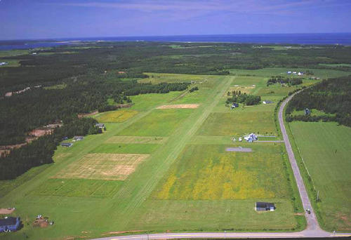
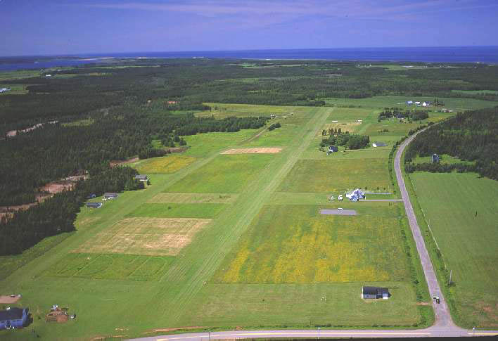
 | Air Strip 500 x 342 - 37K 708 x 485 - 57K |  | Bog Pond 500 x 331 - 39K 708 x 469 - 59K |
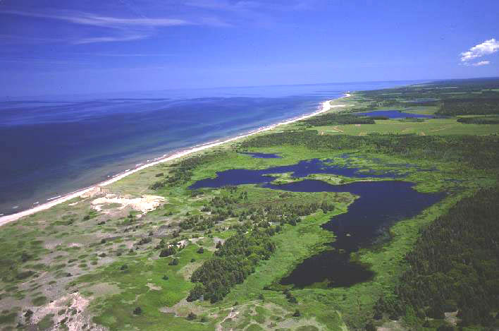
 | Schooner Pond 500 x 367 - 33K 708 x 520 - 52K |
| Community Photographs |
Our community photographs collection includes selected photos of schools, churches, parks, and other public buildings, areas and events. .
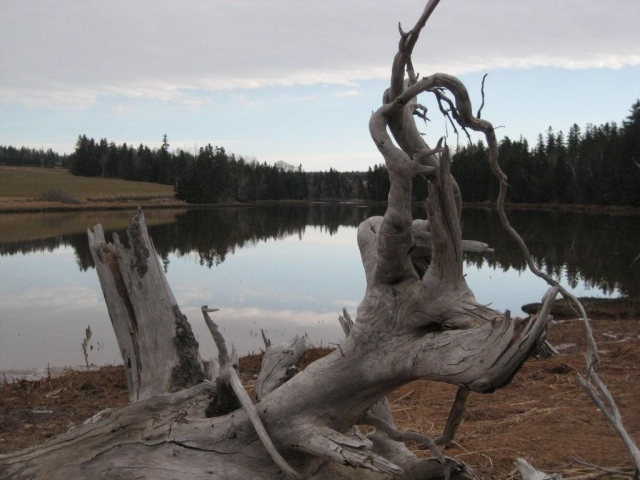
 | Scenic View Credit: 2009 Stella Hagen 1024 x 768 - 95K 640 x 480 - 205K |
| Visitors Guide Listings |
Our Visitors Guide is a complete vacation planning manual.
| The Geography of Cable Head |
Maps
You can use our interactive maps to
display maps of Cable Head and area.
Click on the map link:
Show Map
| Statistical Information |
| History of the Name |
The official history of the geographic name Cable Head (which can be somewhat technical, we admit):
When the first Scotch settlers came to this district, the y found on the shore below the farm now owned by John Sim ons, a piece of hemp cable, evidently from some vessel. F rom this incident they named the place in Gaelic "Ceann C able" meaning Cable End. The work Ceann means End, but is also means head. When English became the most common lan guage, the name was translated in the form Cable Head. (J ohn McK. Simons, postmaster, 1905).
Information courtesy Geomatics Canada .