
PlaceFinder


HOME /
Cape Traverse, an unincorporated area, is located in Prince County in the western portion of Prince Edward Island, E. of Port Borden. Its precise location is N 46°14', W 63°38'.
This page is a comprehensive index of all of the information on our website related to Cape Traverse. You can also search for information on other communities.
| Aerial Photographs |
Aerial photography courtesy of AirScapes. All aerial photographs are available for sale, as prints or slides; please contact AirScapes for details. You can also see a complete list of aerial photographs of the Island.
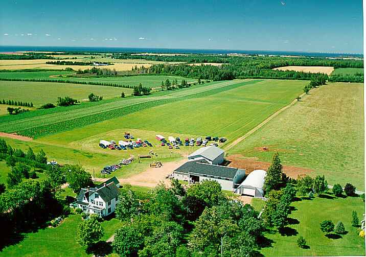
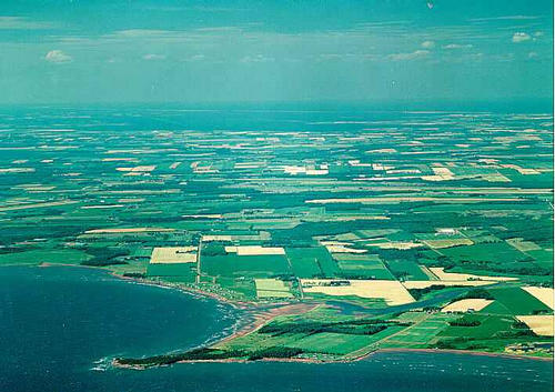
 | 4H Achievement Day 716 x 503 - 57K 500 x 351 - 58K |  | Cape Traverse 710 x 502 - 44K 500 x 353 - 48K |
| Community Photographs |
Our community photographs collection includes selected photos of schools, churches, parks, and other public buildings, areas and events. .
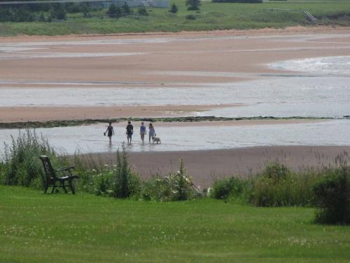
 | Walking the beach in Cape Traverse. Credit: 2009 Stella Hagen. 500 x 375 - 26K 1024 x 768 - 95K |
| Visitors Guide Listings |
Our Visitors Guide is a complete vacation planning manual.
| The Geography of Cape Traverse |
Maps
You can use our interactive maps to
display maps of Cape Traverse and area.
Click on the map link:
Show Map
| Statistical Information |
Cape Traverse falls inside the Statistics Canada
census subdivision of Lot 28. They have detailed statistical information available
for the Lot 28 census subdivision for the following categories:
Education,Ethnicity,Family,Income,Labour Force,Population, and Shelter.
Information courtesy Statistics Canada.
| History of the Name |
The official history of the geographic name Cape Traverse (which can be somewhat technical, we admit):
Cape Traverse (Sett., P.O.) was adopted in Place Names of PEI, 1925. Cape Traverse (Sett.) was confirmed 2 August 1944 on 11L/4.Status changed to Locality 23 October 1989 on 203-8.
Information courtesy Geomatics Canada .