
PlaceFinder


HOME /
Indian River, a river, is located in Prince County in the western portion of Prince Edward Island, Flows W. into Chichester Cove. Its precise location is N 46°28', W 63°42'.
This page is a comprehensive index of all of the information on our website related to Indian River. You can also search for information on other communities.
| Aerial Photographs |
Aerial photography courtesy of AirScapes. All aerial photographs are available for sale, as prints or slides; please contact AirScapes for details. You can also see a complete list of aerial photographs of the Island.
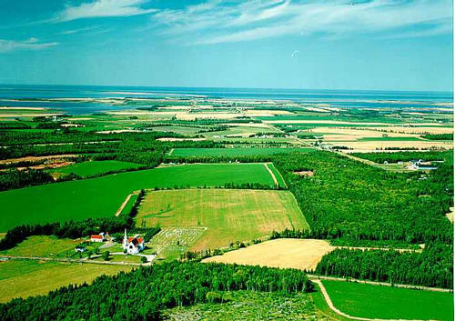
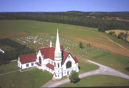
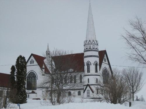
 | St. Mary's Church 710 x 502 - 53K 500 x 353 - 57K |  | St. Mary's Church 500 x 342 - 40K 708 x 485 - 64K |
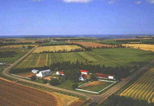
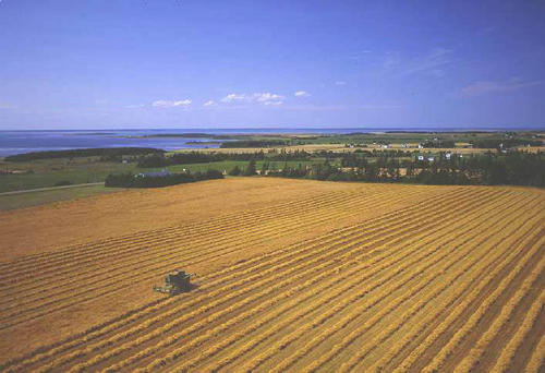
 | Farm 500 x 342 - 38K 708 x 485 - 55K |  | Combining 500 x 342 - 41K 708 x 485 - 64K |
MORE AERIAL PHOTOGRAPHS... there are 6 aerial photographs of Indian River in our Aerial Photo Gallery.
| Community Photographs |
Our community photographs collection includes selected photos of schools, churches, parks, and other public buildings, areas and events. .
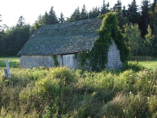
 | Nature takes hold Credit: 2009 Bev Holman 500 x 375 - 64K 1024 x 768 - 209K |  | St. Mary's Church Credit: 2009 Stella Hagen 500 x 375 - 28K 1024 x 768 - 101K |
| Visitors Guide Listings |
Our Visitors Guide is a complete vacation planning manual.
| The Geography of Indian River |
Maps
You can use our interactive maps to
display maps of Indian River and area.
Click on the map link:
Show Map
| Statistical Information |