
PlaceFinder


HOME /
Lower Bedeque, an unincorporated area, is located in Prince County in the western portion of Prince Edward Island, S. of Summerside. Its precise location is N 46°21', W 63°46'.
This page is a comprehensive index of all of the information on our website related to Lower Bedeque. You can also search for information on other communities.
| Aerial Photographs |
Aerial photography courtesy of AirScapes. All aerial photographs are available for sale, as prints or slides; please contact AirScapes for details. You can also see a complete list of aerial photographs of the Island.
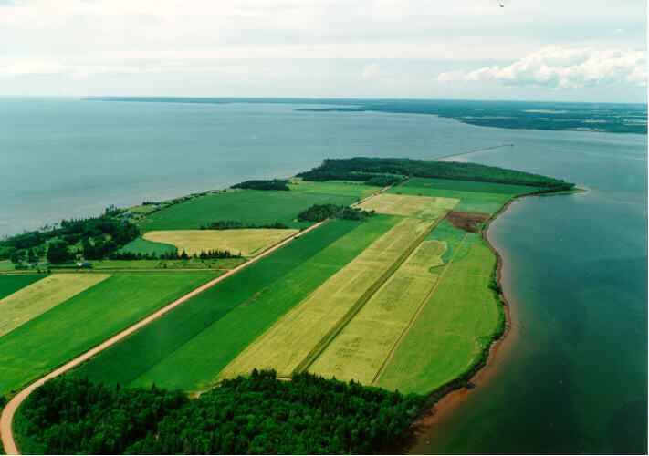
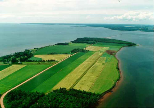
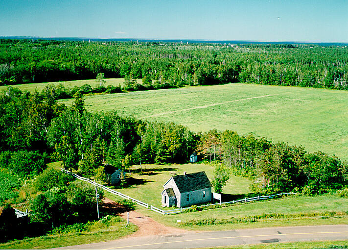
 | Bedeque Bay 711 x 500 - 22K 500 x 351 - 28K |  | LM Montgomery School 500 x 358 - 76K 711 x 510 - 179K |
| Visitors Guide Listings |
Our Visitors Guide is a complete vacation planning manual.
| The Geography of Lower Bedeque |
Maps
You can use our interactive maps to
display maps of Lower Bedeque and area.
Click on the map link:
Show Map
| Statistical Information |
Lower Bedeque falls inside the Statistics Canada
census subdivision of Lot 26. They have detailed statistical information available
for the Lot 26 census subdivision for the following categories:
Education,Ethnicity,Family,Income,Labour Force,Population, and Shelter.
Information courtesy Statistics Canada.
| History of the Name |
The official history of the geographic name Lower Bedeque (which can be somewhat technical, we admit):
Lower Bedeque (Sett.) was adopted in Place Names of PEI, 1925. Status changed to Locality 23 October 1989 on 203-8. Bedeque is a corruption of the Micmac name "Eptek" meaning "the hot place".- PN of PEI, 1925.
Information courtesy Geomatics Canada .