
PlaceFinder


HOME /
Lower Montague, an unincorporated area, is located in Kings County in the eastern portion of Prince Edward Island, E. of Montague. Its precise location is N 46°10', W 62°34'.
This page is a comprehensive index of all of the information on our website related to Lower Montague. You can also search for information on other communities.
| Community Photographs |
Our community photographs collection includes selected photos of schools, churches, parks, and other public buildings, areas and events. .
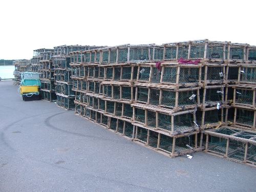
 | Traps Credit: 2009 Mike Miles (mikemiles@sympatico.ca) 500 x 375 - 50K 1024 x 768 - 167K |
| Visitors Guide Listings |
Our Visitors Guide is a complete vacation planning manual.
| The Geography of Lower Montague |
Maps
You can use our interactive maps to
display maps of Lower Montague and area.
Click on the map link:
Show Map
| Statistical Information |
Lower Montague falls inside the Statistics Canada
census subdivision of Lot 59. They have detailed statistical information available
for the Lot 59 census subdivision for the following categories:
Education,Ethnicity,Family,Income,Labour Force,Population, and Shelter.
Information courtesy Statistics Canada.
| History of the Name |
The official history of the geographic name Lower Montague (which can be somewhat technical, we admit):
Lower Montaque (Sett., P.O.) was adopted in Place Names of PEI, 1925. Status changed to Sett. 25 April 1946 on 11L/2.Post office closed 31 May 1946.Status changed to D.R. Comm. in 1973 Gazetteer.Status changed to Locality when it became part of the Community of Lower Montaque in 1974.
Information courtesy Geomatics Canada .