
PlaceFinder


HOME /
Murray River, a river, is located in Kings County in the eastern portion of Prince Edward Island, Flows E. into Murray Harbour.. Its precise location is N 46°02', W 62°32'.
This page is a comprehensive index of all of the information on our website related to Murray River. You can also search for information on other communities.
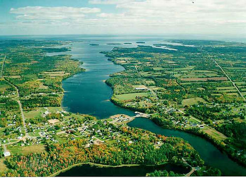
| Aerial Photographs |
Aerial photography courtesy of AirScapes. All aerial photographs are available for sale, as prints or slides; please contact AirScapes for details. You can also see a complete list of aerial photographs of the Island.
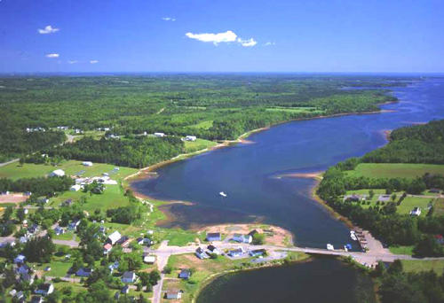
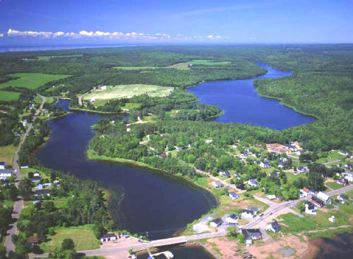
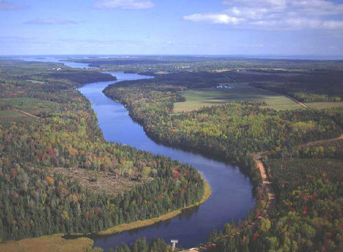
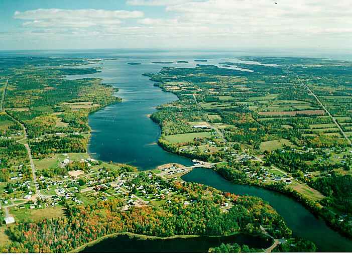
 | Harbour 500 x 342 - 42K 708 x 485 - 59K |  | MacLure's Pond 500 x 367 - 51K 708 x 520 - 73K |
 | MacLures Pond 500 x 367 - 43K 708 x 520 - 64K |  | Murray River 701 x 508 - 55K 500 x 362 - 61K |
MORE AERIAL PHOTOGRAPHS... there are 7 aerial photographs of Murray River in our Aerial Photo Gallery.
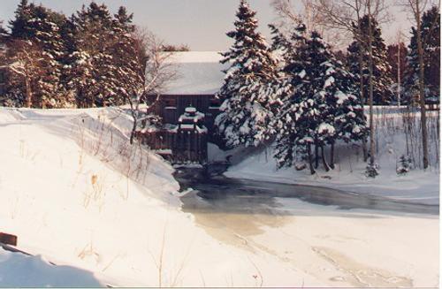
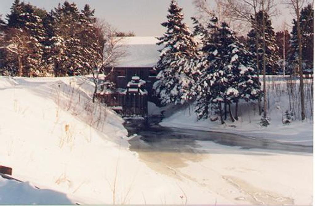
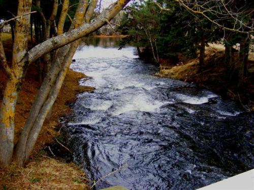
| Community Photographs |
Our community photographs collection includes selected photos of schools, churches, parks, and other public buildings, areas and events. .
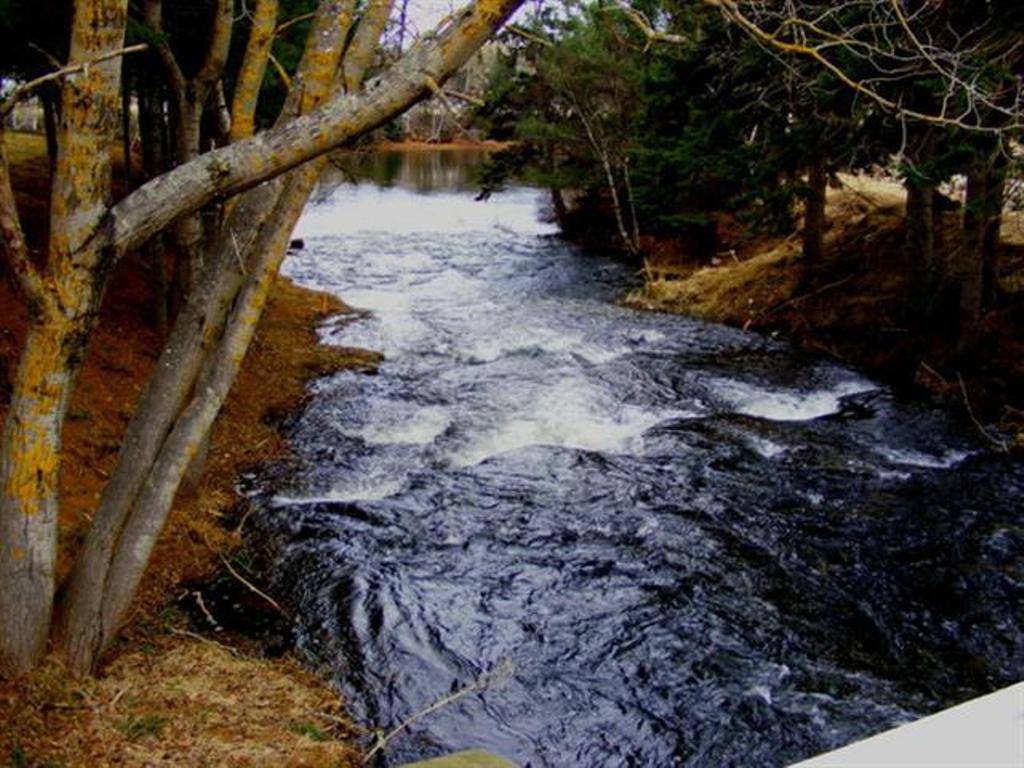
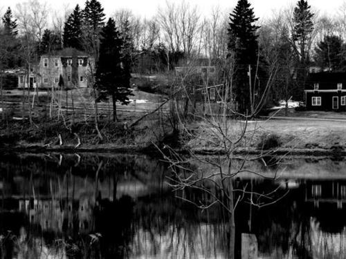
 | The old grist and shingle, water powered from Strickland's dam that operated for many years. The building is still standing today. Credit: (C) 2000 Edison Horton 500 x 327 - 35K 1024 x 670 - 91K |  | MacLure Dam area (fall) Credit: 2010 Daniel Scott 500 x 375 - 45K 1024 x 768 - 130K |
 | MacLure Dam area (spring) Credit: 2010 Daniel Scott 500 x 375 - 42K 1024 x 768 - 119K |
| Visitors Guide Listings |
Our Visitors Guide is a complete vacation planning manual.
| The Geography of Murray River |
Maps
You can use our interactive maps to
display maps of Murray River and area.
Click on the map link:
Show Map
| Statistical Information |