
PlaceFinder


HOME /
New Dominion, an unincorporated area, is located in Queens County in the central portion of Prince Edward Island, SW. of Charlottetown.. Its precise location is N 46°11', W 63°14'.
This page is a comprehensive index of all of the information on our website related to New Dominion. You can also search for information on other communities.
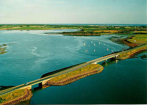
| Aerial Photographs |
Aerial photography courtesy of AirScapes. All aerial photographs are available for sale, as prints or slides; please contact AirScapes for details. You can also see a complete list of aerial photographs of the Island.
 | West River Bridge 710 x 506 - 33K 500 x 356 - 37K |
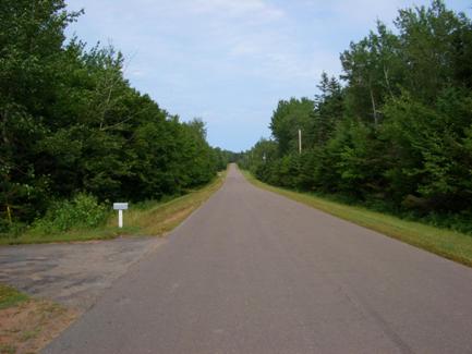
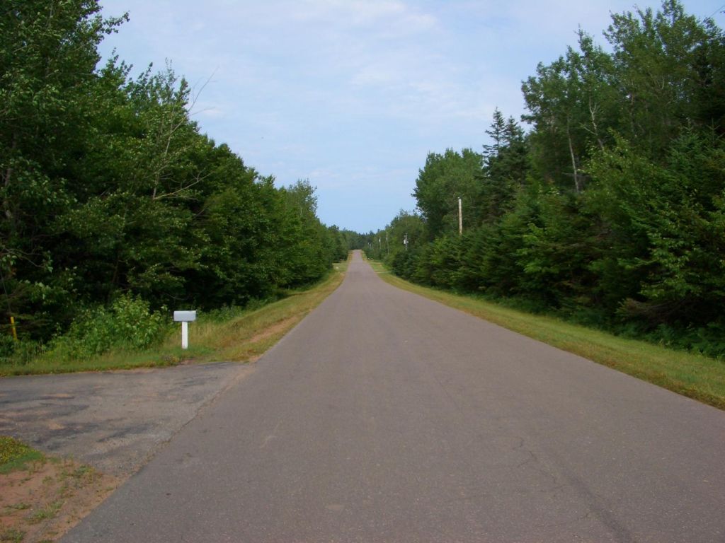
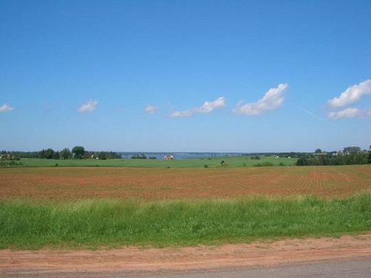
| Community Photographs |
Our community photographs collection includes selected photos of schools, churches, parks, and other public buildings, areas and events. .
 | Highland Park Road Credit: 2005 Robbie Johnston 433 x 325 - 20K 1024 x 768 - 109K |  | Fields Credit: 2006 Robbie Johnston (rjmintcar@hotmail.com) 540 x 405 - 56K 960 x 720 - 90K |
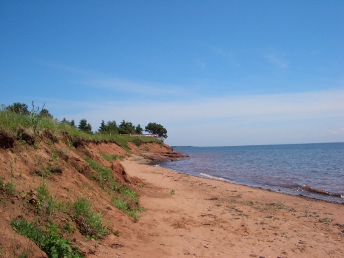
 | Beach in New Dominion Credit: 2009 Robbie Johnston (rjmintcar@hotmail.com) 500 x 375 - 131K 1024 x 768 - 552K |  | Beach at New Dominion Credit: 2009 Robbie Johnston (rjmintcar@hotmail.com) 500 x 375 - 142K 1024 x 768 - 583K |
| Visitors Guide Listings |
Our Visitors Guide is a complete vacation planning manual.
| The Geography of New Dominion |
Maps
You can use our interactive maps to
display maps of New Dominion and area.
Click on the map link:
Show Map
| Statistical Information |
New Dominion falls inside the Statistics Canada
census subdivision of Lot 65. They have detailed statistical information available
for the Lot 65 census subdivision for the following categories:
Education,Ethnicity,Family,Income,Labour Force,Population, and Shelter.
Information courtesy Statistics Canada.
| History of the Name |
The official history of the geographic name New Dominion (which can be somewhat technical, we admit):
New Dominion (P.O.) opened 1 January 1896 and closed 1 September 1913. New Dominion (Sett.) was adopted in P.N. of PEI, 1925.Confirmed 12 December 1939 on 11L/3.Status changed to D.R. Comm. in 1973 Gazetteer. Status changed to Locality when it became part of the Community of Afton in 1974.
Information courtesy Geomatics Canada .