
PlaceFinder


HOME /
Rocky Point, a cape, is located in Queens County in the central portion of Prince Edward Island, S. shore of Charlottetown Harbour. Its precise location is N 46°12', W 63°09'.
This page is a comprehensive index of all of the information on our website related to Rocky Point. You can also search for information on other communities.
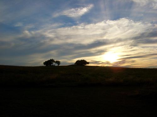
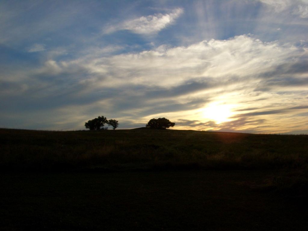
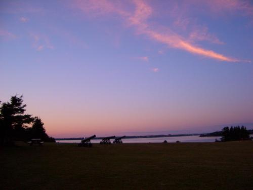
| Community Photographs |
Our community photographs collection includes selected photos of schools, churches, parks, and other public buildings, areas and events. .
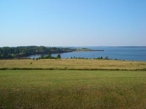
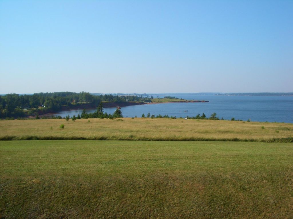
 | Fort Amherst Credit: 2005 Robbie Johnston 500 x 375 - 21K 1024 x 768 - 88K |  | Fort Amherst Credit: 2005 Robbie Johnston 500 x 375 - 21K 1024 x 768 - 79K |
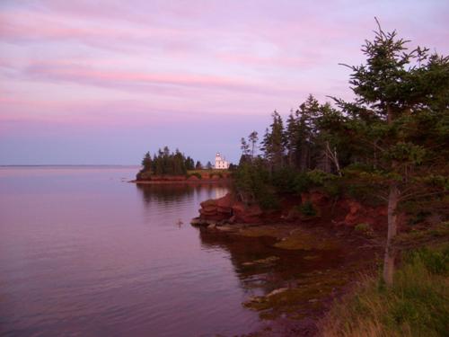
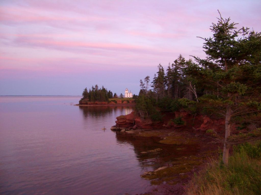
 | Fort Amherst Credit: 2005 Robbie Johnston 500 x 375 - 16K 1024 x 768 - 54K |  | Fort Amherst Credit: 2005 Robbie Johnston 500 x 375 - 12K 1024 x 768 - 49K |
| Visitors Guide Listings |
Our Visitors Guide is a complete vacation planning manual.
| The Geography of Rocky Point |
Maps
You can use our interactive maps to
display maps of Rocky Point and area.
Click on the map link:
Show Map
| Statistical Information |
Rocky Point falls inside the Statistics Canada
census subdivision of Lot 65. They have detailed statistical information available
for the Lot 65 census subdivision for the following categories:
Education,Ethnicity,Family,Income,Labour Force,Population, and Shelter.
Information courtesy Statistics Canada.
| History of the Name |
The official history of the geographic name Rocky Point (which can be somewhat technical, we admit):
Above decision made on Chart 4460. Also found on 11L/3g.
Information courtesy Geomatics Canada .