
PlaceFinder


HOME /
Woodstock, an unincorporated area, is located in Prince County in the western portion of Prince Edward Island, NE. of O'Leary. Its precise location is N 46°43', W 64°10'.
This page is a comprehensive index of all of the information on our website related to Woodstock. You can also search for information on other communities.
| Aerial Photographs |
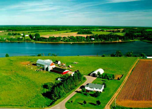
Aerial photography courtesy of AirScapes. All aerial photographs are available for sale, as prints or slides; please contact AirScapes for details. You can also see a complete list of aerial photographs of the Island.
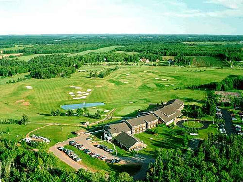
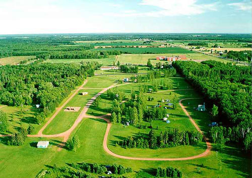
 | Mill River Resort 640 x 480 - 50K 500 x 375 - 62K |  | Mill River Campground 710 x 502 - 54K 500 x 353 - 59K |
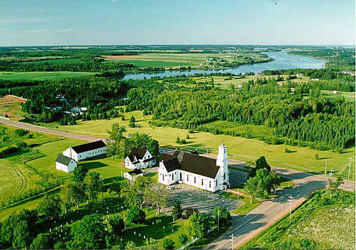
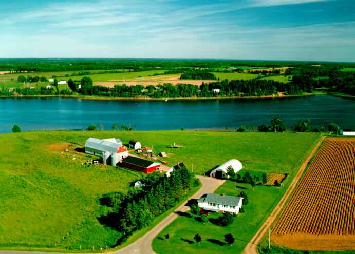
 | St. Anthony's Church 711 x 500 - 65K 500 x 351 - 66K |  | Farm 691 x 495 - 36K 500 x 358 - 46K |
MORE AERIAL PHOTOGRAPHS... there are 5 aerial photographs of Woodstock in our Aerial Photo Gallery.
| Visitors Guide Listings |
Our Visitors Guide is a complete vacation planning manual.
| The Geography of Woodstock |
Maps
You can use our interactive maps to
display maps of Woodstock and area.
Click on the map link:
Show Map
| Statistical Information |
Woodstock falls inside the Statistics Canada
census subdivision of Lot 6. They have detailed statistical information available
for the Lot 6 census subdivision for the following categories:
Education,Ethnicity,Family,Income,Labour Force,Population, and Shelter.
Information courtesy Statistics Canada.
| History of the Name |
The official history of the geographic name Woodstock (which can be somewhat technical, we admit):
Woodstock (Sett.) was adopted 3 December 1946 on 21I/9 at 46 43 - 64 10.Applic ation altered 30 November 1966 to 46 43 - 64 10.Status changed to Locality on 23 October 1989 on 203-8.
Information courtesy Geomatics Canada .