
PlaceFinder


HOME /
Summerside, a city, is located in Prince County in the western portion of Prince Edward Island, NW. of Charlottetown. Its precise location is N 46°23', W 63°47'.
This page is a comprehensive index of all of the information on our website related to Summerside. You can also search for information on other communities.
| Municipal Government Information |
The City was incorporated in 1995 and has a population of 14751.
| Telephone: | (902) 432-1230 |
| Facsimile: | (902) 436-9296 |
| Address: | 275 Fitzroy Street, Summerside, PE, C1N 1H9 |
| Meetings: | Third Monday of the Month, 6:30 p.m. Summerside City Hall 275 Fitzroy Street This information is subject to change. Please contact the municipality to confirm the meeting time and location. |
| Office Hours: | Monday to Friday 8:30 a.m. - 4:30 p.m. Summer 8:30 a.m. - 4:00 p.m. |
| Email: | contactus@city.summerside.pe.ca |
| Website: | http://www.city.summerside.pe.ca/ |
| Aerial Photographs |
Aerial photography courtesy of AirScapes. All aerial photographs are available for sale, as prints or slides; please contact AirScapes for details. You can also see a complete list of aerial photographs of the Island.
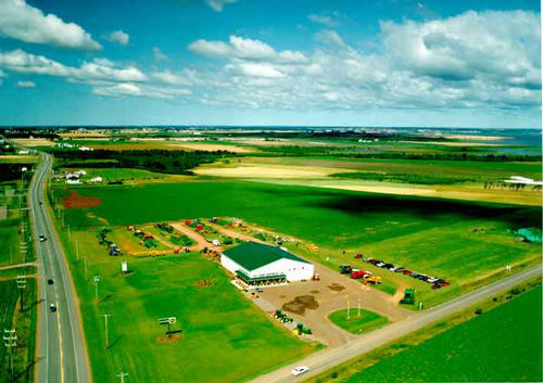
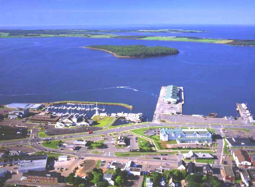
 | Waterfront 500 x 367 - 54K 708 x 520 - 81K |  | PEI Farm Equipment 710 x 502 - 35K 500 x 353 - 45K |
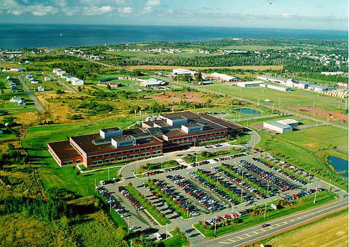
 | Canada Customs and Revenue Agency 710 x 502 - 67K 500 x 353 - 71K |  | Waterfront 500 x 367 - 47K 708 x 520 - 66K |
MORE AERIAL PHOTOGRAPHS... there are 5 aerial photographs of summerside in our Aerial Photo Gallery.
| Community Photographs |
Our community photographs collection includes selected photos of schools, churches, parks, and other public buildings, areas and events. .
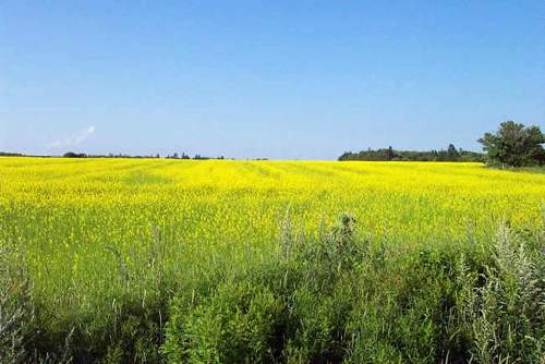
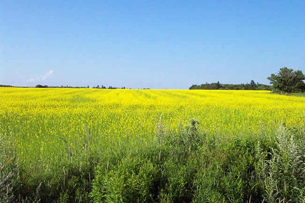
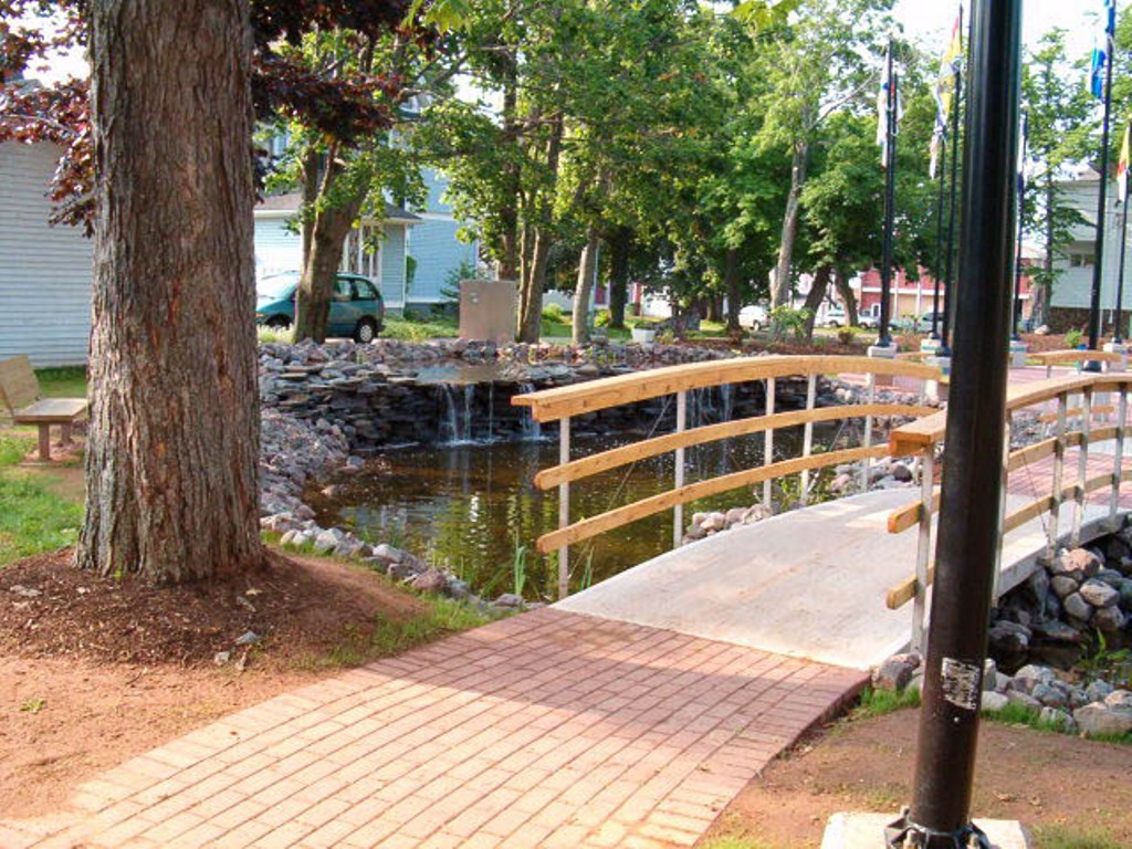
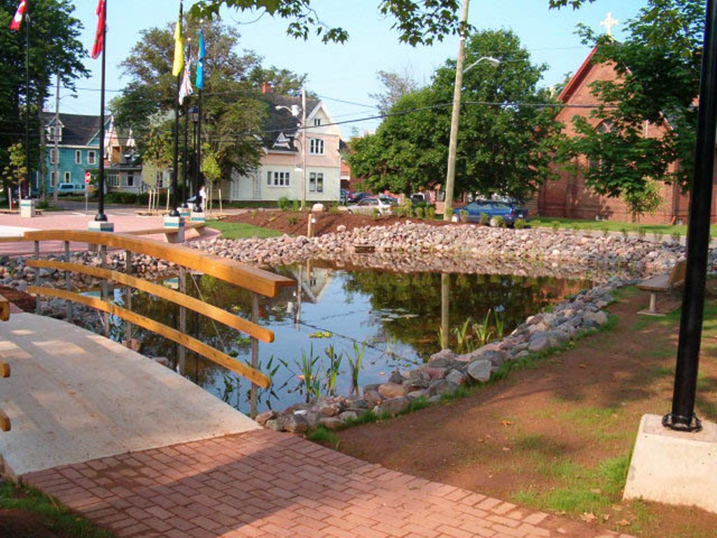
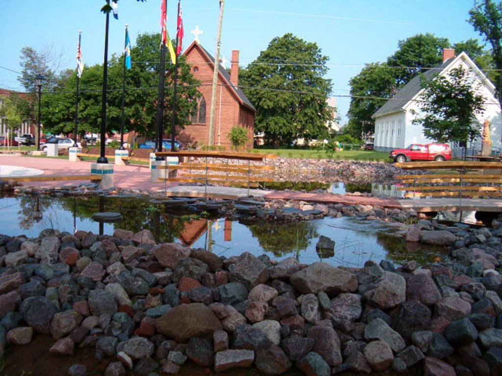
 | A Field of Canola Credit: (c) 2003 Nancy Starno 500 x 334 - 28K 1024 x 684 - 90K |  | Memorial Park Credit: 2004 Errol Ladner 500 x 375 - 92K 1024 x 768 - 260K |
 | Memorial Park Credit: 2004 Errol Ladner 500 x 375 - 85K 1024 x 768 - 235K |  | Memorial Park Credit: 2004 Errol Ladner 500 x 375 - 81K 1024 x 768 - 218K |
| Visitors Guide Listings |
Our Visitors Guide is a complete vacation planning manual.
| The Geography of Summerside |
Maps
You can use our interactive maps to
display maps of Summerside and area.
Click on the map link:
Show Map
Driving Distances and Times
To find driving distances and times from other locations, consult the distance chart for Summerside.
| Statistical Information |
The PEI Community Accounts has information about Summerside. Community Accounts provides a comprensive source of community, regional, and provincial data on social, environmental and economic topics
Information courtesy of Community Accounts
Summerside falls inside the Statistics Canada
census subdivision of Summerside. They have detailed statistical information available
for the Summerside census subdivision for the following categories:
Education,Ethnicity,Family,Income,Labour Force,Population, and Shelter.
Information courtesy Statistics Canada.
| History of the Name |
The official history of the geographic name Summerside (which can be somewhat technical, we admit):
Summerside (Town) was incorporated in 1877.Confirmed in Place Names of Prince Edward Island, 1925.Confirmed 2 August 1944 on 11 L/5.Status changed to City and appliction altered by the inclusion of the former Communities of Wilmot and St. Eleanors and part of Sherbrooke by the City of Summerside Act on 1 April 19 95. Confirmed 17 June 1996 on 11 L/5. (1) See also Place Names of Prince Edward Island, 1925. (2) According to an arti cle in Star Weekly dated November 8, 1969, Summerside was once Green's Shore, na med for Daniel Green, a Loyalist granted land here on the south side of Prince E dward Island.His son called his house (also an inn) Summerside House, and so p eople began calling the settlement that.
Information courtesy Geomatics Canada .